Products and Services
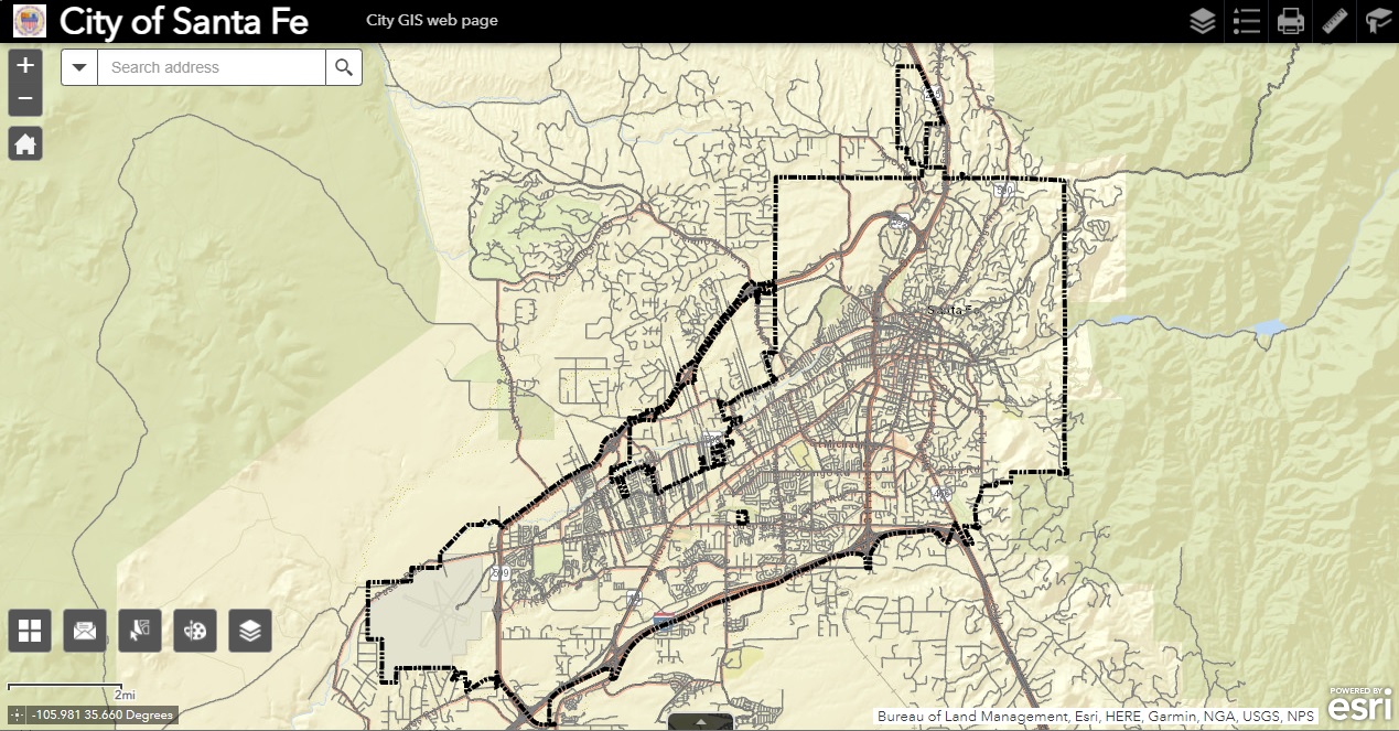
You may also create your own map at no cost, by accessing our
Interactive Mapping System (IMS).
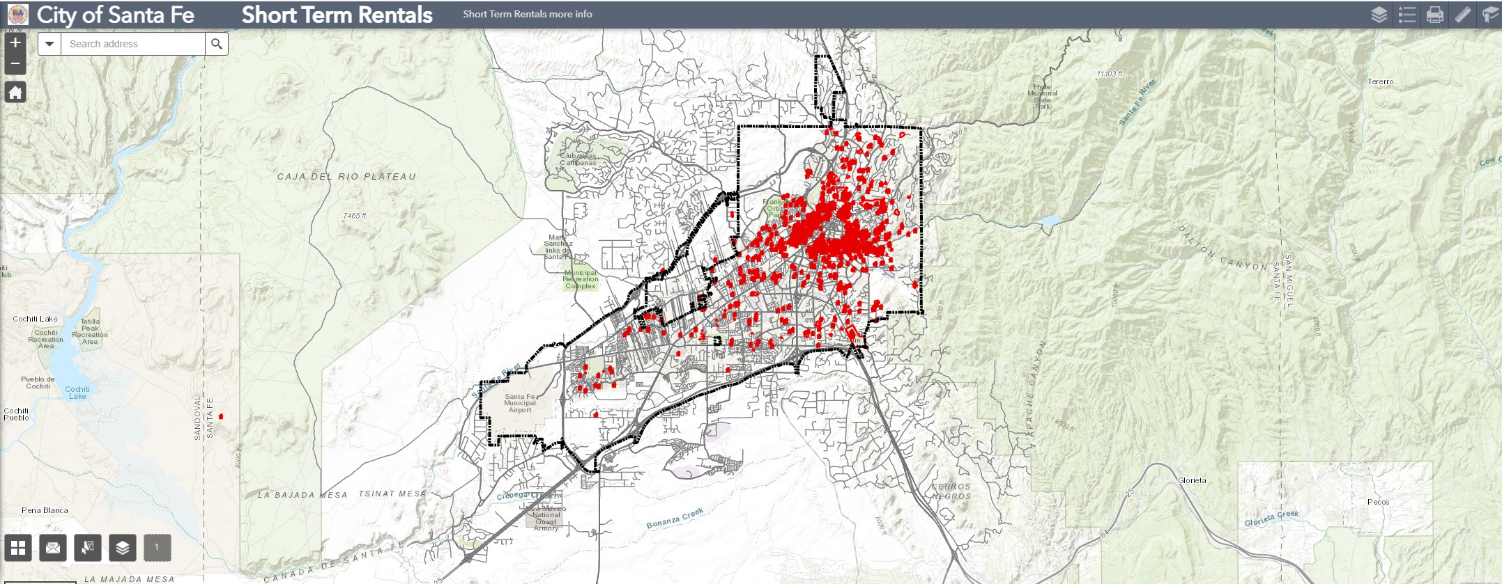
ENN Public Notification & Short Term Rental

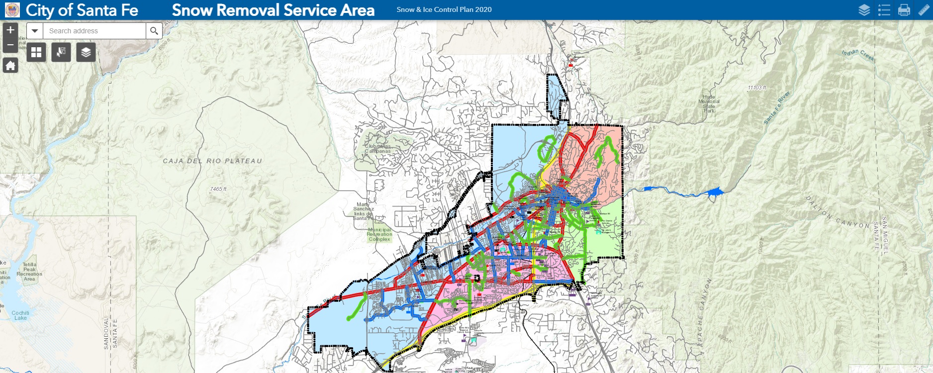
Snow Removal Service Areas
City of Santa Fe from the Air (Aerial flights)
Click on image for interactive Viewer
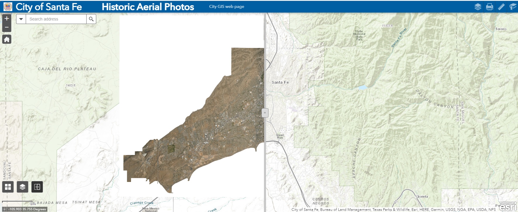
2019/2014/2011/2008/2005/2001/1996/1992/1951/1935
What is My Zoning?
Click on Map for Interactive Viewer
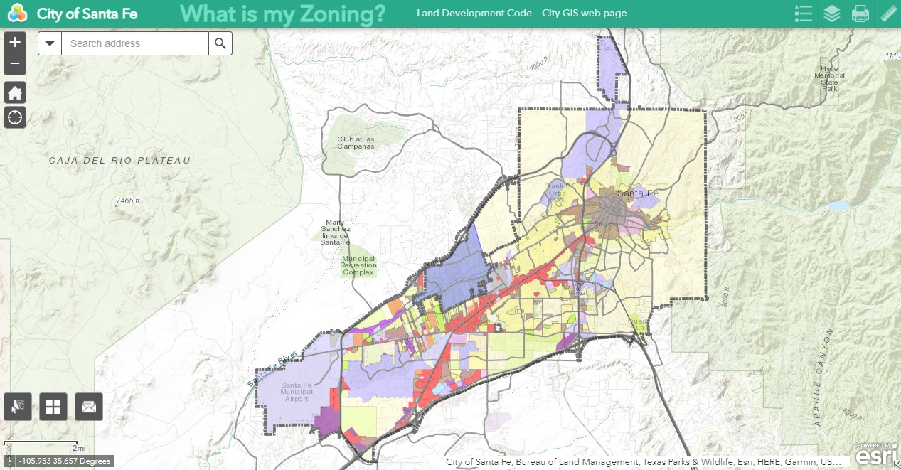 Click here to download a pdf Map Zoning Map
Overlay Districts
Click on Map for Interactive Viewer
Who is My Councilor?
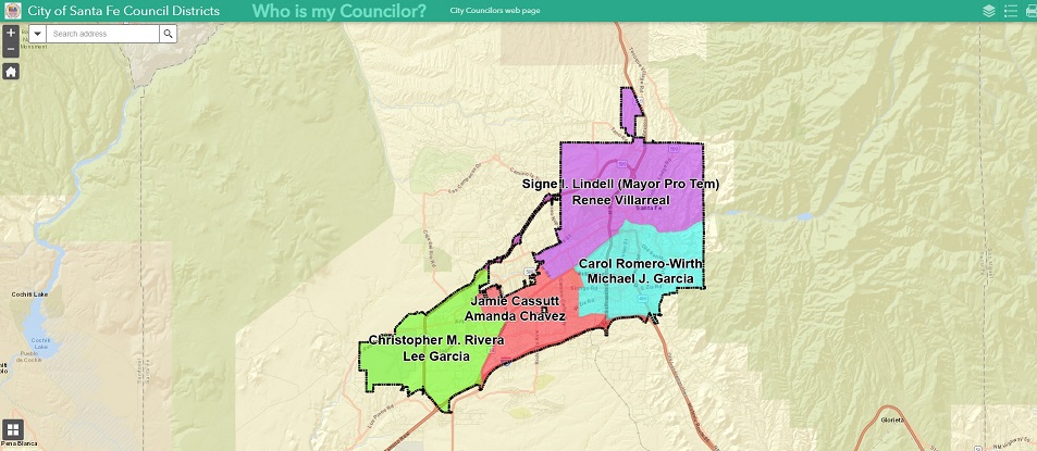
Click on Map for interactive Viewer
Click here to download a pdf Map City Council District Map or City Council Districts & Precints
City Parks
Click on Map for Interactive Viewer
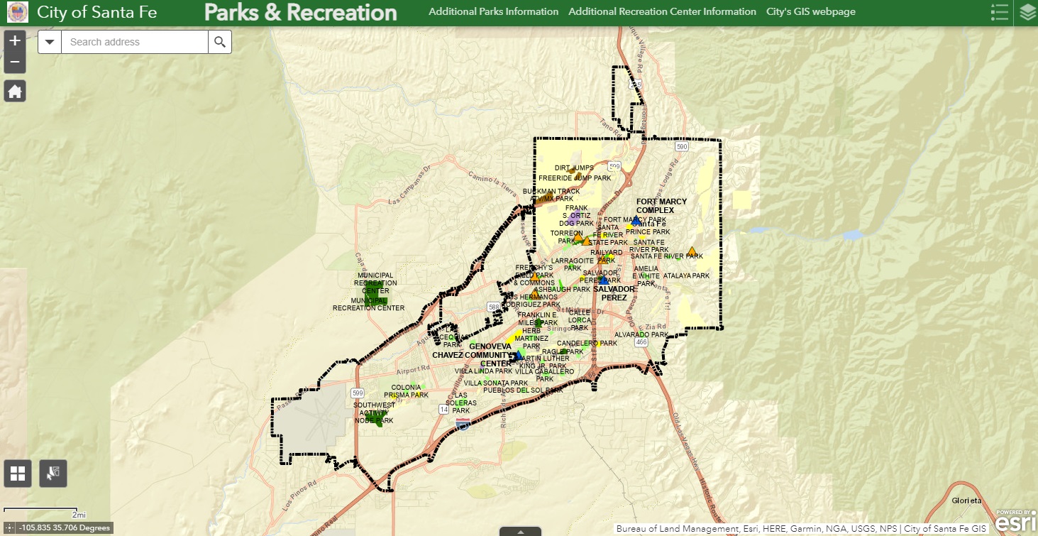 Click here to download a pdf Map of City Parks
Neighborhood Associations
Click on Map for Interactive Viewer
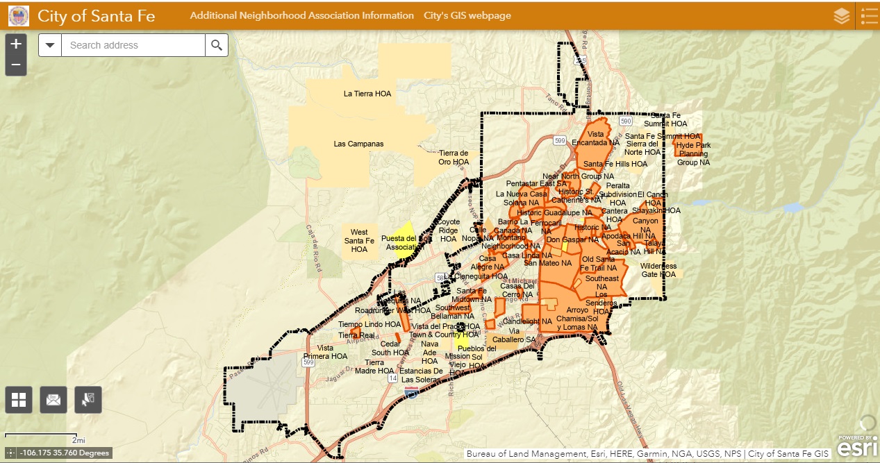
Click here to download a pdf Map Neighborhood & Other Residential Associations
Short Term Rentals Locations
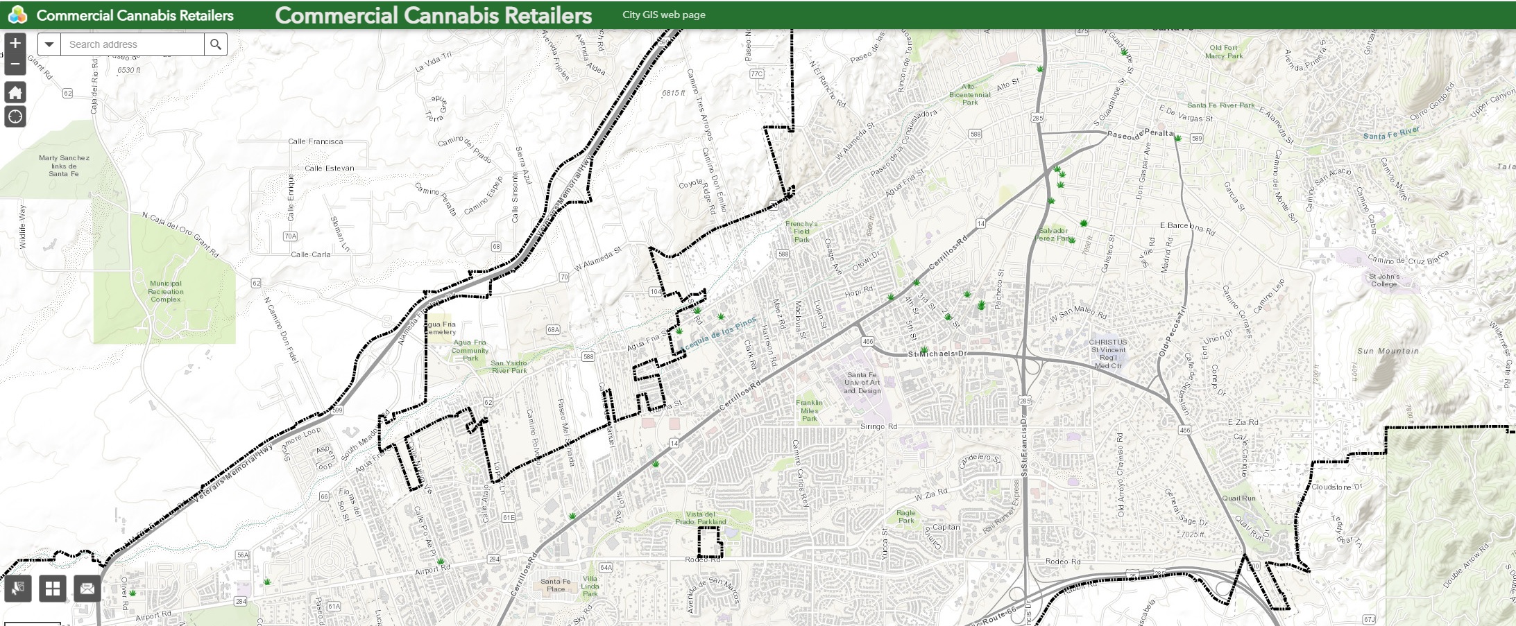
Commercial Cannabis Retailers
The City of Santa Fe GIS Division is doing away with the below Map service
The data on this Map service may not be up to date
Click on Map to lunch the Map service
The City has a large selection of standard maps available for purchase at City Hall. The maps are presentation quality and are available in various sizes, ranging from 8 1/2" x 11" to 34" x 44". Pricing Information.
For a complete list of available City maps, see our Map Gallery. If you cannot find what you are looking for on the list, contact GIS staff as we have many maps of various subjects not listed here.
Frequently Requested Maps
Santa Fe City Limits & Roads
Zoning Map
Future Land Use
Historic District
Bikeways Maps
To properly view the maps, you will need Adobe Acrobat Reader.
The online maps are updated as needed. Please note that many of the online maps are not to scale, as we have compressed most of the files for quicker download.
Order Maps
Gis Division (Geographic Information System)
The GIS Services Section serves the residents of Santa Fe by providing mapping products or spatial analysis. A Geographic Information System (GIS) is an integrated system of computer hardware and software used for the storage, retrieval, mapping, and analysis of referenced geographic data. The geographic or spatial data for the City is referenced to the surface of the earth using the State Plane Coordinate System (New Mexico Central). Spatial data and associated attribute data that share the same coordinate system can then be layered together for mapping and analysis. The ability of GIS to overlay different geographic layers with colorful, transparent, and descriptive interplay on paper maps or in the digital world is useful for decision-makers. GIS is a powerful tool for development planning, resource management, emergency planning, or other physical environment domains.
If the above online maps do not meet your requirements, please email us or call 505-955-6490.
GIS Links to government agencies, tools, location services, data resources, and other GIS information sites.
Staff
Leonard Padilla
GIS Project Coordinator
Email
505-955-5516
Phillip Pacheco
GIS Project Coordinator
Email
505-955-5517
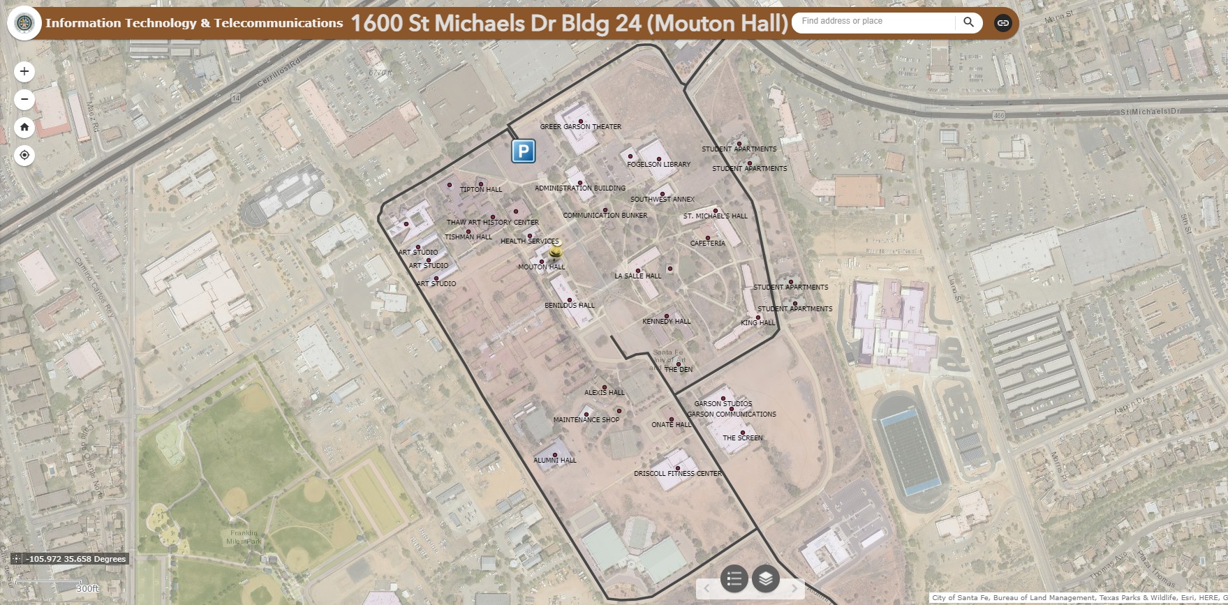
ITT/GIS Division
Office Location - 1600 St Michaels Drive, Bldg 24 (Mouton Hall) Santa Fe, NM 87505 (Hours 8:00 a.m.-5:00 p.m.)
Mailing Address - P.O. Box 909 Santa Fe, NM 87501
505-955-6490, gis@santafenm.gov